

Flexible licensing for individuals, businesses, and schools
Get Kit
Find the right plan for you.


Read our Fulfillment Policy below.
ASLA Members get 10% off of their Land Kit License with the code ASLAMEMBER
Paid Feature Highlights
Plants from a Prompt
Use a ChatGPT-style prompt to generate a plant list that can be placed using rules-based design. The best of both worlds.

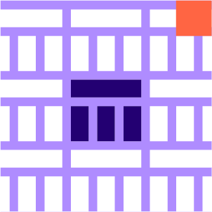
Areas
Never trim a mesh again. Work quickly with different areas in your site in plan. Output as projected meshes, surfaces, Hatches, SubD, planting plans, paving plans, sections, and more.

Path Paving
Pave along a path in a few different styles. Great for arraying pavers or other elements along a path.

Layer by Formula
Calculate new layers from other layers of analysis to understand suitability or to create a functional relationship between layers.
Collage and Clip Areas
Reduce the amount of trimming between area shapes and features like walls and paths. Think like a collage artist.
Calculate Carbon
Add data about embodied carbon and carbon sequestration to the different areas of your site. Calculate carbon as you design.

Patch Topo Mod
The Patch Topo Mod allows you to define a boundary or boundaries to modify an existing terrain. Whether you are proposing new grading or testing revision options, this component will become indispensable.

Draw Layer as Mesh
Quickly visualize any analysis layer in your environment as a tinted mesh.

Bloom Calendar
Show your plants blooming over the course of the calendar year in graph form or even by animating the color of the plants themselves.

Topo Smooth Mod
Smooth your topo within the areas you need to.

Draw Layer as Shapes
Break your site into shape areas based on any layer.

Environment-Level Rules
Add Environment Rules that let you set rules for all of your plants at once. Gradient Restriction allows you to control an attribute like height in relation to some environmental condition, like proximity to a path.
Module Array
Insert a mini pattern in an existing pattern. It’s patterns all the way down.

Blocks
Components for exporting blocks and block info. Great for moving the party into CAD, Revit, Lumion, or Enscape.

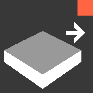
Bake Areas as Hatches
No more redrawing hatches. Manipulate areas using surfaces and get all the benefits of 3D and hatches.

Image Map
Constrain your plants based on any image. Use image in other ‘Environment’ operations.

Curb Cuts Mod
Modify your curbs and topo with curb cuts. Simply input center lines, it creates everything you need: updated curbs and breakline info for you topo. More mods like this soon.

Tessellation Pattern
Create your own custom tessellation. This component helps you understand how the pattern will repeat, in addition to deploying it within your paving area.

Calculate CN layer
Based on the United State’s TR-55, this tool helps calculate “Curve Numbers” and runoff volumes. A simple solution for a complicated job!

Fill Pattern Constrained
This component tries to find a plant for each point while still following your rules. Pick a pattern that makes plant installation easiest for you.

Cut Fill Analysis
Compare two meshes and reveal the difference in terms of cut and fill, in real time.

Upslope Area
Analyze the amount of potential square footage of rainfall coming to any square foot on your site.

Image Color Rule
Change your paving based on any image.

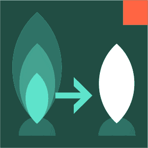
Sculpt Topo Mod
Push or Pull at set height shifts from the input terrain.
Areas as Slabs
Input a top and bottom topo mesh and you can give your areas thickness. Great for tracking volume calculations.
Occurrences
Get a general picture of things like water flow intensity across an environment based on positions along flow lines and general distribution.

Add Wall Tops Mod
Add top-of-wall elevations in addition to describing bottom-of-wall and top-of-grade elevations.
Save More Time
Freeze Area, Remove Overlaps, Set Area Age, Niche rules, Shape Set from Layer, and More coming soon.

Static Storage
Given Terrain and storage boundaries, this tool helps you figure out how much volume you might capture in given shapes.

Grade Topo Mod
Modify existing topography by grading at a target slope away from topo features and geometry. Sorta magical.
Save/Load Plant Lists
Save your plants with all of their data as a .land file. Then load them back into Grasshopper like it was yesterday. Save smaller plant lists or plants from planting areas.

Project Pavers
Project your paving pattern as meshes to a topo mesh. Boom. Now you’re in 3D.

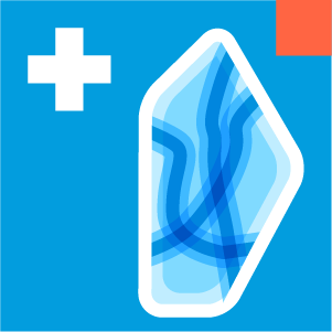
Catchments
Get an idea of where water is flowing to and where from on your site.

Variable Sloped Paths
Input a centerline and an existing terrain mesh and this tool will grade a path within your specified slope range.

Random Texture
This component adds a randomized texture to your paver meshes. With a nice texture, this can make your renders feel supernatural.
Focus more time on higher quality design.
Fulfillment Policy
+ Delivery: License keys are typically delivered via email within 24 hours of purchase. For Team Trials or keys related to training purchases, short-term and temporary keys (e.g., 90-day access) may be activated anytime between the purchase date and the start of training.
+ Refunds: Due to the digital nature of our products, our general policy is that all sales are final. If a subscription purchase was made in error, we can refund within 24-48 hours of purchase upon request.
+ Renewals & Payment:
Subscriptions auto-renew unless canceled before the renewal date.
If a valid payment method is on file with Stripe, your card will be charged automatically.
If no valid payment method is available, we will send a payment link or invoice upon request.
If payment is not received within 15 days of the due date, we reserve the right to suspend the license until payment is made.
+ Cancellation: If you wish to cancel a subscription, there are a few different ways.
Email us a request at support@landau.design.
Non-payment: We will cancel your license if you do not pay within 15 days of a payment due date. But please notify us if you wish to cancel a subscription to avoid confustion.
+ Help: If you experience issues with activation or access, please contact us at support@landau.design for assistance. For installation information for larger organizations please visit our IT information page here.
What does a License subscription get me?
+ Access to all the Land Kit components which can help to save hours of redrawing.
+ Ongoing upgrades and new features and improvements.
+ Higher support priority
+ Learn more about installation and setup details here.
Accessibility
We are always working to improve the user experience. If you require a completed VPAT accessibility report to purchase, you can download our latest accessibility assessment.
Get Land Kit
Filters
No results found
No results match your search. Try removing a few filters.
Get the features
Land Kit continues to evolve all year round. Our new features and new efficiencies don’t wait for next season.

Join the Land Kit adventure…